
Remains of historical church buildings in Hungary
Customer’s task
Geosequence Ltd specializes in conducting engineering geophysical and remote sensing measurements, as well as processing and evaluating recorded data.
As a component of a comprehensive multi-site research project, they executed ground-penetrating radar (GPR) surveys in the vicinity of Kiskunlacháza. The objective of these surveys was to pinpoint the locations of former village churches within the settlement’s administrative borders by employing non-invasive techniques to detect the remnants of historical church structures.
ImpulseRadar’s solution
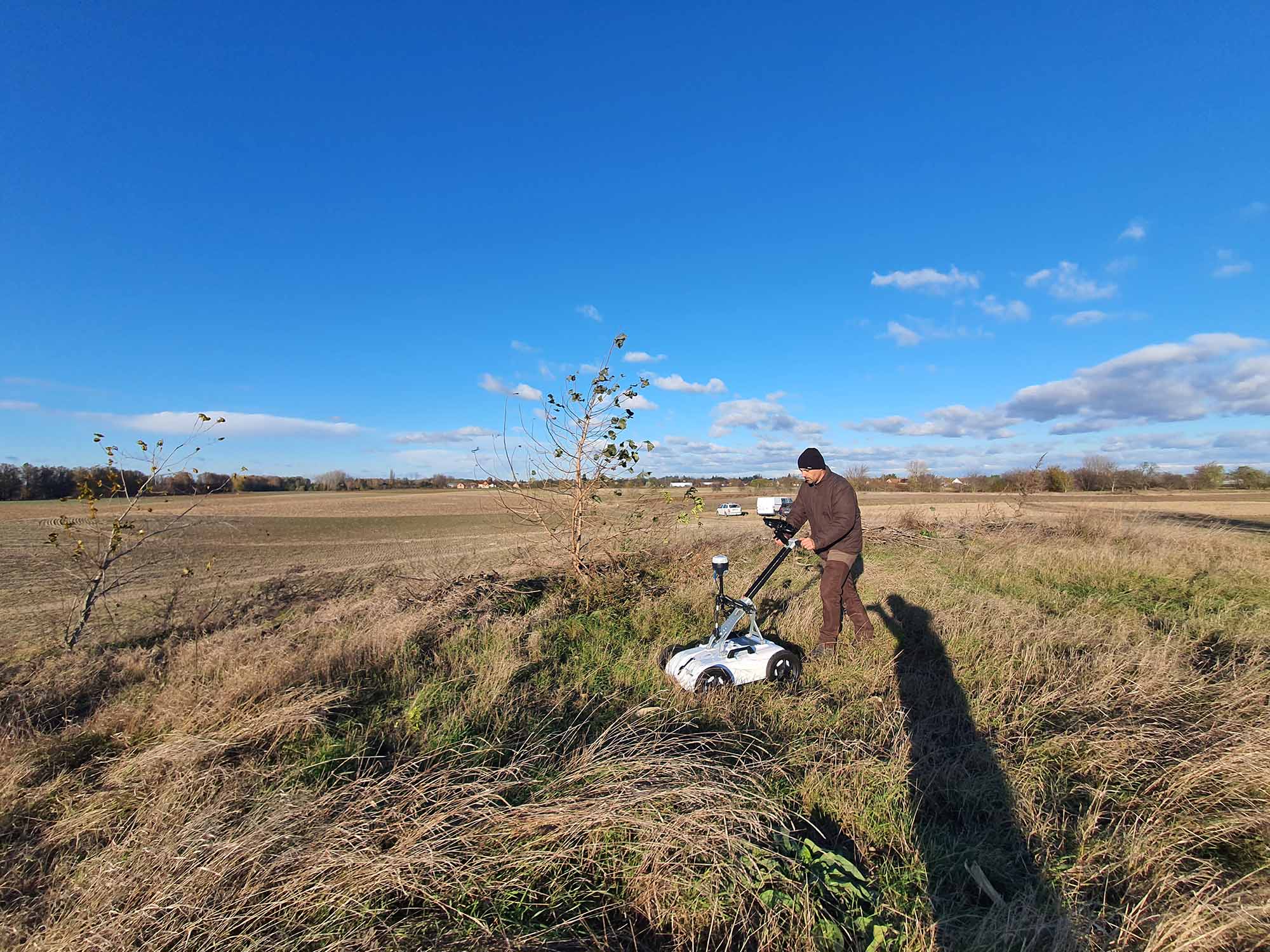
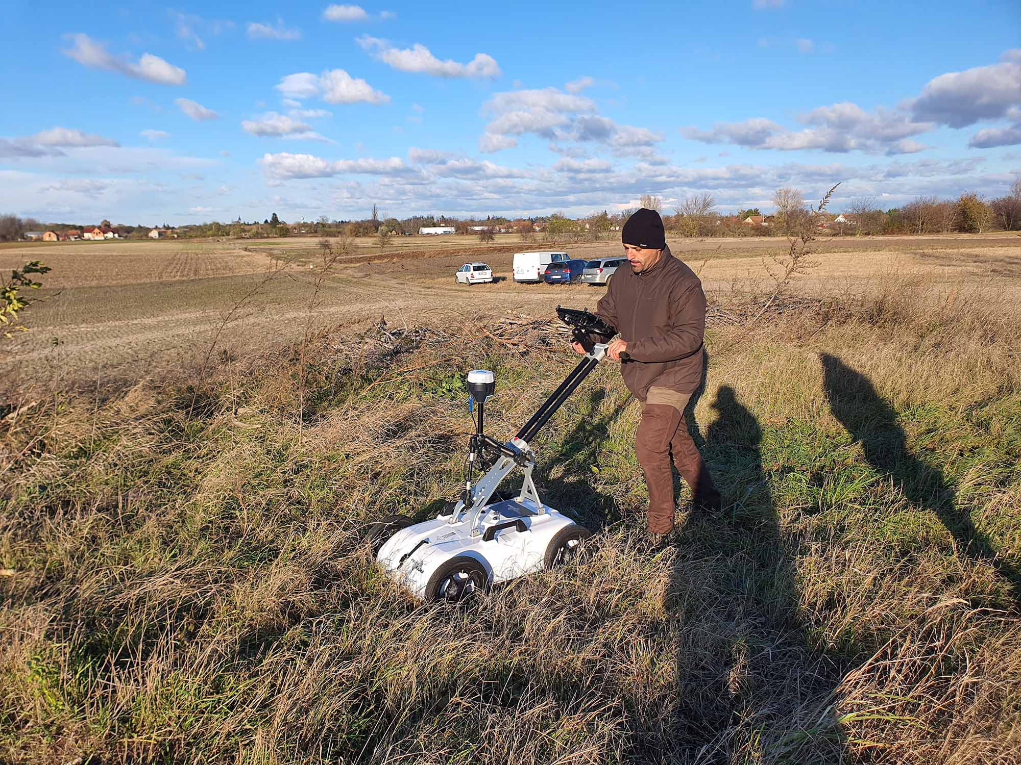
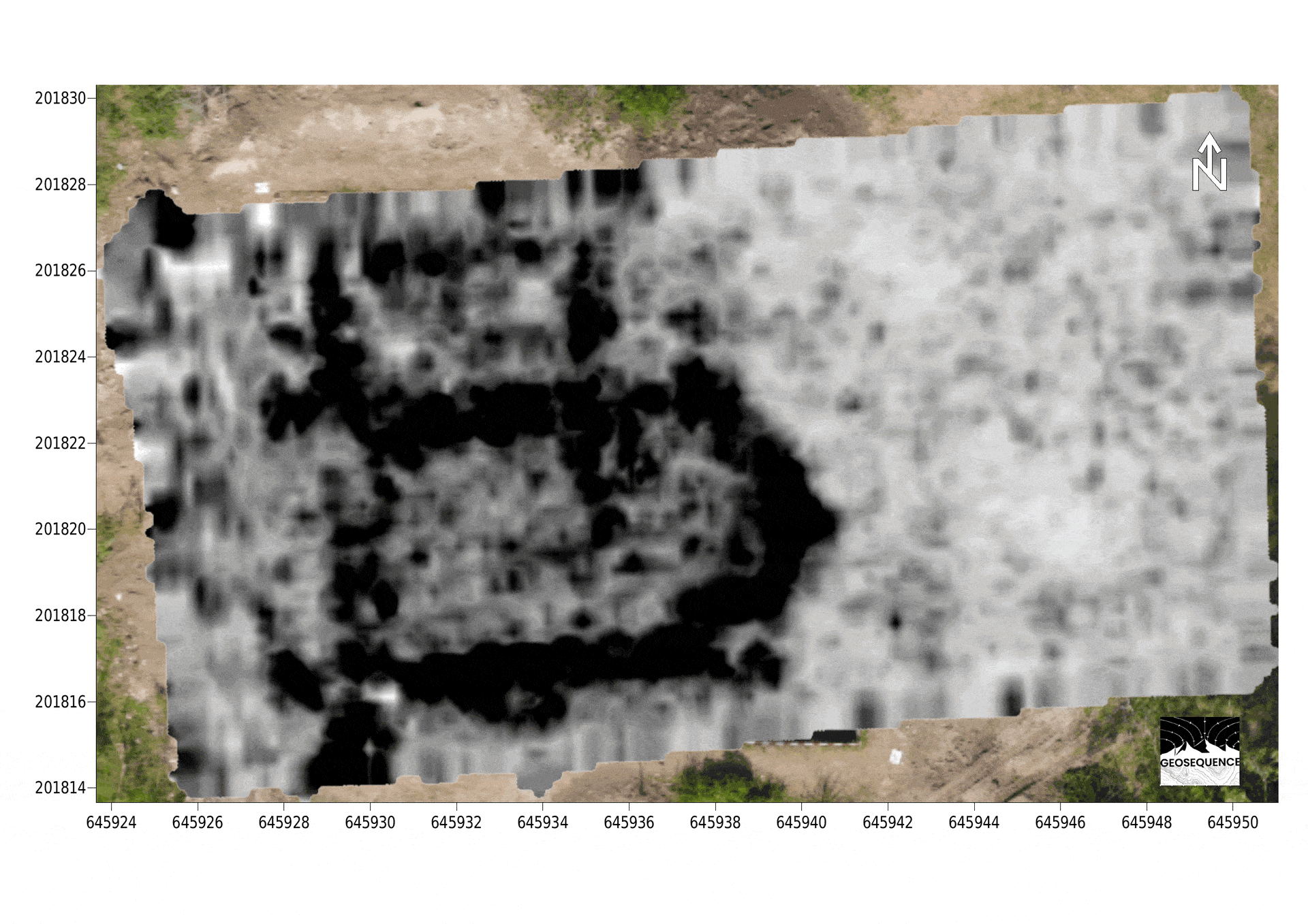
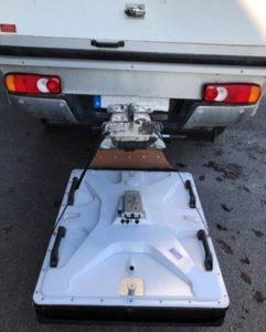
The customer selected the CrossOver 1760 GPR system for this project, they managed to scan an area of 350 m² in just 1 hour and 10 minutes. Among the numerous fascinating locations, the abandoned village of Úrhegy was particularly remarkable. The Kiskunlacháza Municipality intends to excavate, conserve, and repurpose the Úrhegy church structure as a local archaeological visitor center. Úrhegy fell into desolation in the late Middle Ages. Although the general location of the village church was identified, its precise dimensions and configuration remained unclear. The survey area was established through prior research in historical databases and various indications. Consequently, they needed to conduct an online analysis of the profiles on screen to identify anomalies associated with buried walls. The measurement was taken at the end of November, which meant the weather was somewhat chilly, and we encountered considerable underbrush as well. After some reluctance, the survey was conducted using a pushcart instead of a skid plate.
The GPR survey effectively identified the exact site of the old church structure and uncovered its architectural layout.
In April 2025, the Ferenczy Museum Center of Pest County, in collaboration with the Community Archaeology Association (KRE), undertook a scheduled archaeological dig across the entire site of the Úrhegy church structure. The location for the excavation was established based on the findings from the radar survey.
Results
The scheduled excavation allowed to contrast the floor plan suggested by the GPR measurements with that of the discovered church structure. The evidence is unmistakable. The images provided clearly illustrate the significant connection between the GPR profiles and the structures revealed through the excavation. Utilizing non-invasive geophysical techniques, Geosequence Ltd successfully generated a precise representation of the concealed church structure below the ground prior to conducting any excavation. These findings clearly illustrate that contemporary engineering geophysical techniques can serve as both valuable and economical enhancements to archaeological studies and diverse development initiatives.

With special thanks to Geosequence Ltd, Hungary
Other case studies
Two for the Win with Reliable Target Detection

Lost Medieval Church Revealed

Rapid Groundwater Exploration
Not sure whether GPR is the right tool for you? Contact us and we’d be happy to discuss your problem and recommend a suitable ImpulseRadar GPR solution
