PinPointR 3D
Il GPR 3D professionale reso semplice
Un sistema GPR 3D leggero e monoposto, progettato per rendere il rilevamento 3D professionale più facile da adottare, più semplice da utilizzare e più semplice da integrare nel lavoro quotidiano sul campo.
Dalla mappatura delle utenze e dalle indagini sulle infrastrutture fino ai rilievi su aree più vaste, PinPointR 3D combina un flusso di lavoro sul campo efficiente con la qualità dei dati che ti aspetti da ImpulseRadar.
25.4 kg / lbs 56
8 canali
450 MHz
Il percorso più facile per
GPR 3D professionale
Il GPR 3D professionale fornisce preziose informazioni sul sottosuolo. Tuttavia, per molti topografi, il passaggio al 3D ha significato più attrezzature, maggiore complessità e una curva di apprendimento più ripida.
PinPointR 3D cambia questo.

Portatile
Una piattaforma leggera da 25.4 kg progettata per il trasporto e l'installazione da parte di una sola persona.

Semplice
Un flusso di lavoro ottimizzato, progettato per semplificare l'installazione, l'acquisizione e l'utilizzo sul campo.

Professionista
Un'architettura a 8 canali che fornisce dati 3D di alta qualità per un'interpretazione affidabile.
Tutto sentirti necessità di operazioni sul campo sicure
Portabilità per una sola persona
Con un peso di soli 25.4 kg / 56 libbre, PinPointR 3D è progettato per essere facilmente trasportato e utilizzato da un singolo operatore.
Operazione semplice
Un flusso di lavoro sul campo semplificato rende la configurazione e l'acquisizione dei dati facili da apprendere e da gestire.
GPS interno, supporto per GPS esterno
Dati georeferenziati di serie.
Compatibile con DGPS o RTK-GPS per una georeferenziazione più precisa per scopi di mappatura/report
Dati 3D professionali
Un'architettura a 8 canali acquisisce dati 3D ad alta densità per indagini dettagliate del sottosuolo.
ViewPoint 2 – Software intuitivo per la gestione delle attività sul campo
ViewPoint 2 riunisce configurazione, acquisizione e visualizzazione sul campo in un'interfaccia chiara e intuitiva, fruibile anche su tablet.
Condor – Dai dati all'analisi
Elabora, visualizza e interpreta i tuoi set di dati in Condor per un'analisi e una presentazione affidabili.
Progettato attorno al modo sentirti sondaggio
Dal trasporto e dall'installazione all'acquisizione e all'interpretazione dei dati, ogni elemento è stato progettato per migliorare la produttività, mantenendo al contempo gli elevati standard qualitativi che ci si aspetta da un'indagine GPR professionale.
Trasporto facile
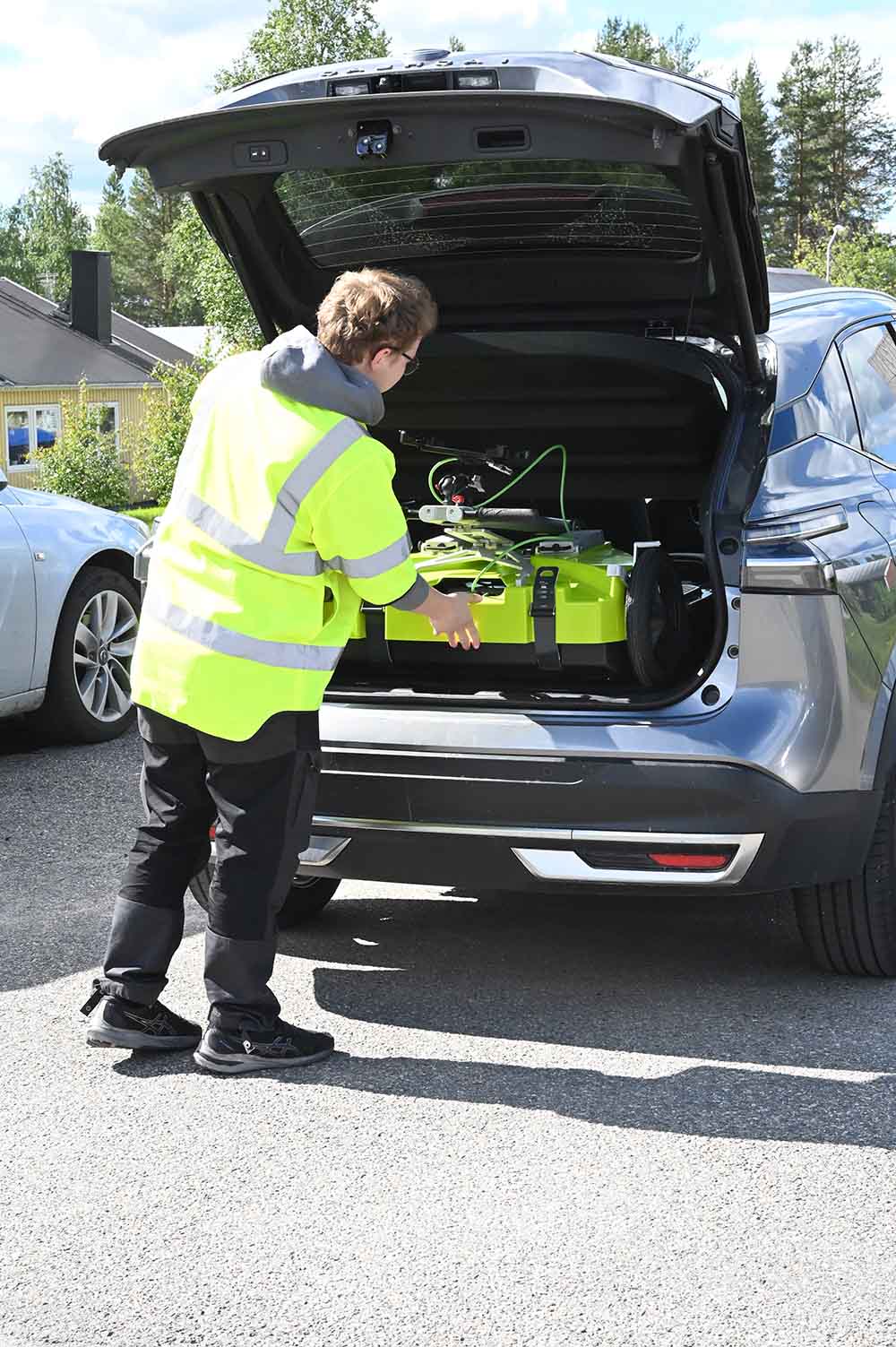
Leggero e compatto, facile da trasportare anche da una sola persona.
Compatto per un pratico trasporto su strada.
25.4 kg
Distribuzione rapida
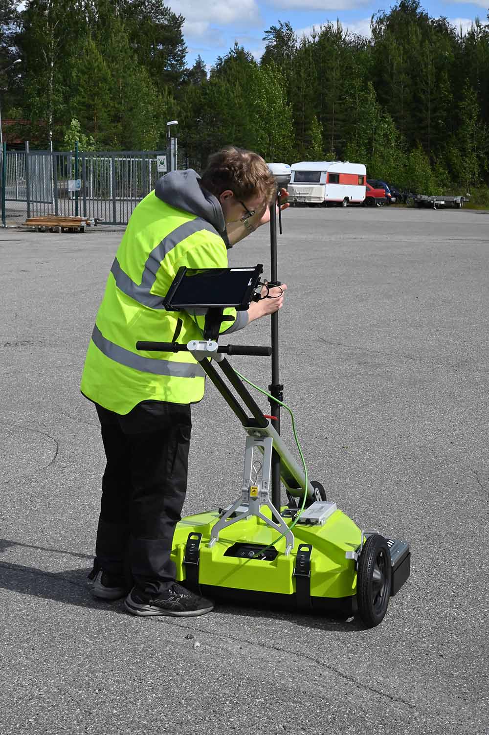
Grazie alla configurazione rapida e intuitiva, potrai iniziare i rilievi in pochi minuti.
Passaggi minimi.
Massima efficienza.
Una persona
Operazioni sul campo efficienti
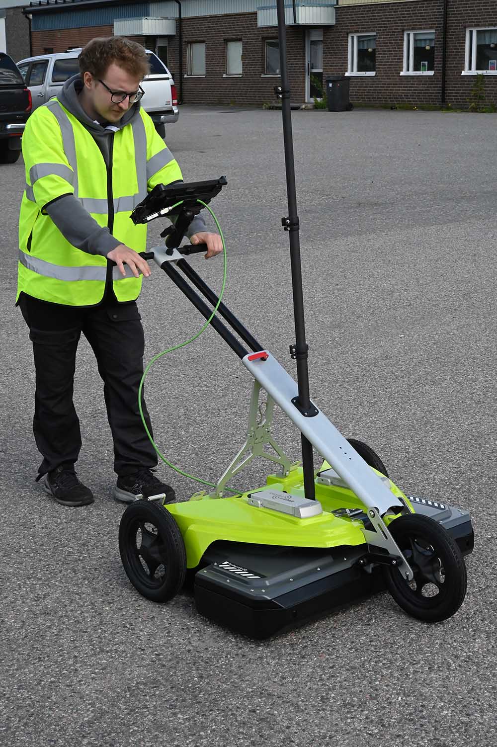
Acquisisci dati 3D con un'architettura a 8 canali.
Percorri distanze maggiori con maggiore sicurezza.
Dati 3D
Risultati 3D affidabili
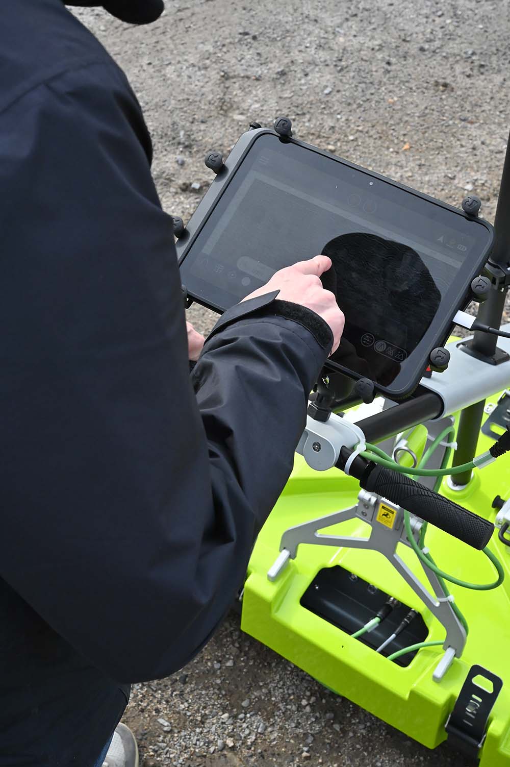
Software potenti e una ricca visualizzazione 3D facilitano la comprensione del sottosuolo e consentono di prendere decisioni affidabili.
Intuizioni chiare
Punto di vista 2
Il flusso di lavoro completo del GPR, direttamente sul campo.
App ViewPoint 2
ViewPoint 2 è la nuova generazione del software di acquisizione dati ImpulseRadar, progettato per rendere l'esperienza sul campo più intuitiva fin dal primo utilizzo.
Dalla configurazione del sondaggio e l'acquisizione dei dati alla visualizzazione sul campo, ViewPoint 2 riunisce il flusso di lavoro essenziale in un'unica interfaccia chiara e fruibile su tablet, consentendoti di concentrarti sul sondaggio anziché sul software.
Condor – Trasforma i dati in informazioni utili
Dai dati raccolti sul campo ai risultati concreti.
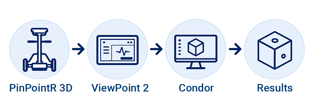
PinPointR 3D si integra perfettamente con l'ecosistema software di ImpulseRadar, dall'acquisizione intuitiva dei dati in ViewPoint 2 all'elaborazione, visualizzazione e interpretazione avanzate nel software Condor.
Elabora, visualizza e interpreta i tuoi set di dati 3D PinPointR in Condor. Potenti strumenti di elaborazione e visualizzazione ti aiutano a trasformare i dati raccolti in informazioni chiare sul sottosuolo, per un'interpretazione e una presentazione affidabili.
Pronti a integrare la modellazione 3D professionale nel vostro flusso di lavoro?
Scopri come PinPointR 3D può essere utile al tuo team.
Antenna
Tecnologia
Campionamento in tempo reale di ImpulseRadar
Tipo di antenna
PinPointR 3D
Frequenza centrale
450 MHz
Rapporto segnale-rumore (SNR)
> 100 dB
Numero di bit significativo/utile
>16 bit
Scansioni/secondo
> 800
Velocità di rilevamento
>130 km/h a intervalli di 5 cm
Tasso di acquisizione dei dati
160 MHz
Finestra temporale
166 ns (8 canali)
Larghezza di banda
>120% (frazione, -10 dB)
Modalità di acquisizione
Ruota, tempo o manuale
Posizionamento
Encoder per ruote, GPS esterno e stazione totale
Supporto GPS
Supporto integrato per GPS (interno/esterno), protocollo NMEA 0183
Etichettatura temporale dei dati
A 1 ms di tempo GPS
Alimentazione elettrica
Batteria ricaricabile agli ioni di litio da 2 V o alimentazione esterna a 12 V CC.
Consumo di energia
3,2 Ah XNUMX Ah
Tempo di funzionamento
5,4 ore (8 canali con 2 batterie da 8,7 Ah) Sostituibili a caldo
Dimensioni
880 x 600 x 190 mm (solo antenna)
Peso
13.2 kg (solo antenna)
Funzionamento
Da -20 ° a + 50 ° C
Ambiente
IP65
Certificazione normativa
FCC, IC e CE
Carrello
Dimensioni (piegato per il trasporto)
990 x 870 x 370 mm
Dimensioni (quando in uso)
990 x 870 x 1050 mm (manubrio rialzato)
Peso
12.2 kg
Interfaccia utente
Display
720 x 1280 pixel o superiore
Sistema operativo
Android™ (>ver. 10) o versioni successive
Processore
Intel Atom x5-Z8550, Quad-core 2.3 GHz Krait 400 o superiore
Memorie
SDRAM da 2.7 GB o superiore
Software
ViewPoint 2.0 / Condor
Informazioni sul prodotto