PinPointR 3D
Professional 3D GPR made simple
A lightweight, one-person 3D GPR system designed to make professional 3D surveying easier to adopt, easier to operate, and easier to integrate into everyday fieldwork.
From utility mapping and infrastructure investigation to larger-area surveys, PinPointR 3D combines an efficient field workflow with the data quality you expect from ImpulseRadar.
25.4 kg / 56 lbs
8 channels
450 MHz
The easier path to
Professional 3D GPR
Professional 3D GPR delivers valuable subsurface insight. But for many surveyors, the move to 3D has meant more equipment, greater complexity, and a steeper learning curve.
PinPointR 3D changes that.

Portable
A lightweight 25.4 kg platform designed for one-person transport and deployment.

Simple
A streamlined workflow designed to make setup, acquisition, and field operation straightforward.

Professional
An 8-channel architecture delivering high-quality 3D data for confident interpretation
Everything You need for confident field operation
One-person portability
At just 25.4 kg / 56 lbs, PinPointR 3D is designed for easy transport and deployment by a single operator.
Straightforward Operation
A streamlined field workflow makes setup and data acquisition easy to learn and easy to manage
Internal GPS, support external GPS
Geo-referenced data as standard.
Compatible with DGPS or RTK-GPS for higher accuracy geo-referencing for mapping/reporting purposes
Professional 3D Data
An 8-channel architecture captures high-density 3D data for detailed subsurface investigation.
ViewPoint 2 – Intuitive Field Software
ViewPoint 2 brings setup, acquisition, and in-field visualization together in a clear, tablet-driven interface
Condor – From Data to Insight
Process, visualize, and interpret your datasets in Condor for confident analysis and delivery
Designed around the way You survey
From transportation and deployment to data acquisition and interpretation, every element has been designed to improve productivity while maintaining high-quality results expected from professional GPR surveys.
Easy Transportation
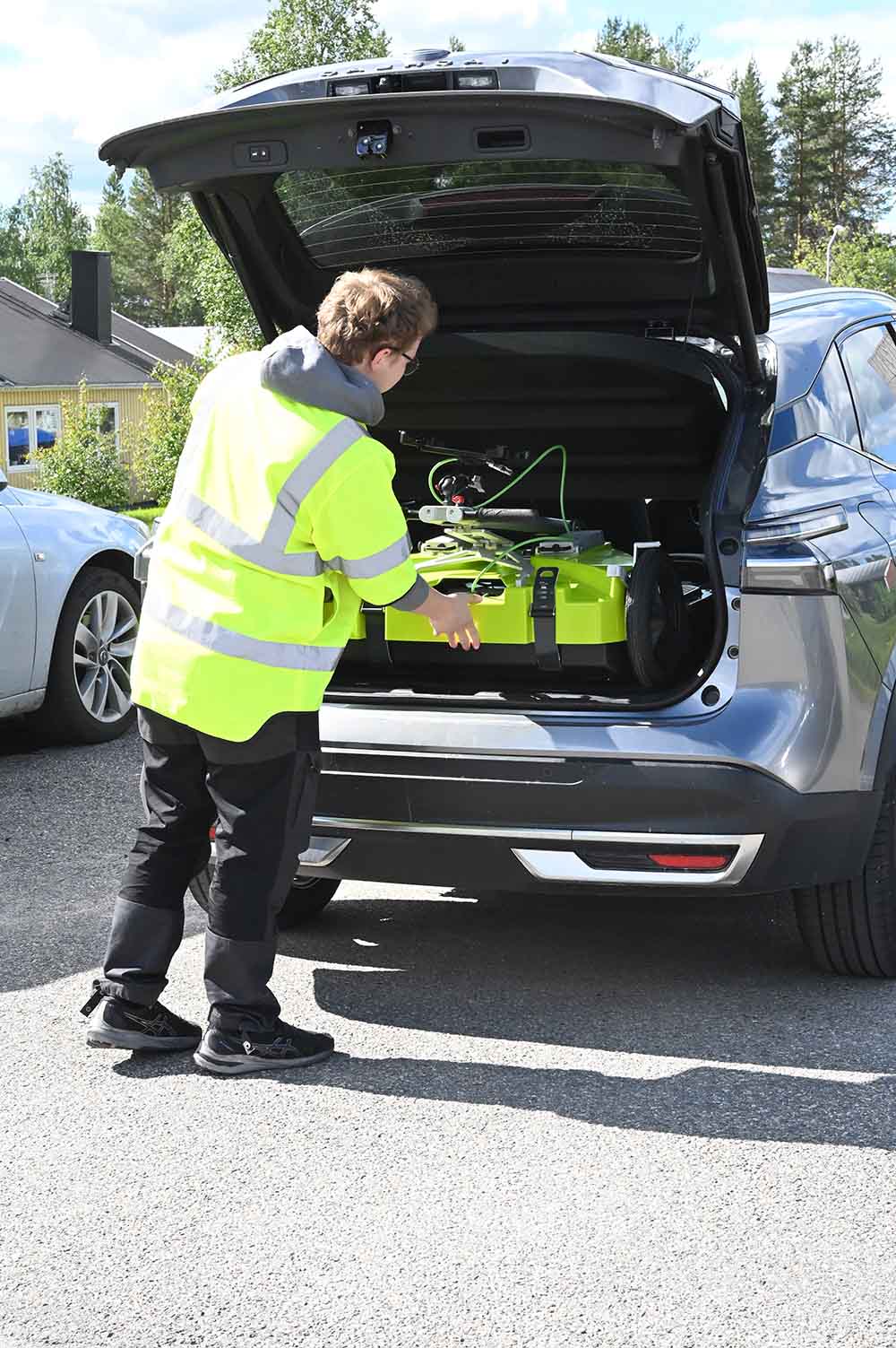
Lightweight and compact for easy one-person transport.
Compact for practical vehicle transport.
25.4 kg
Fast Deployment
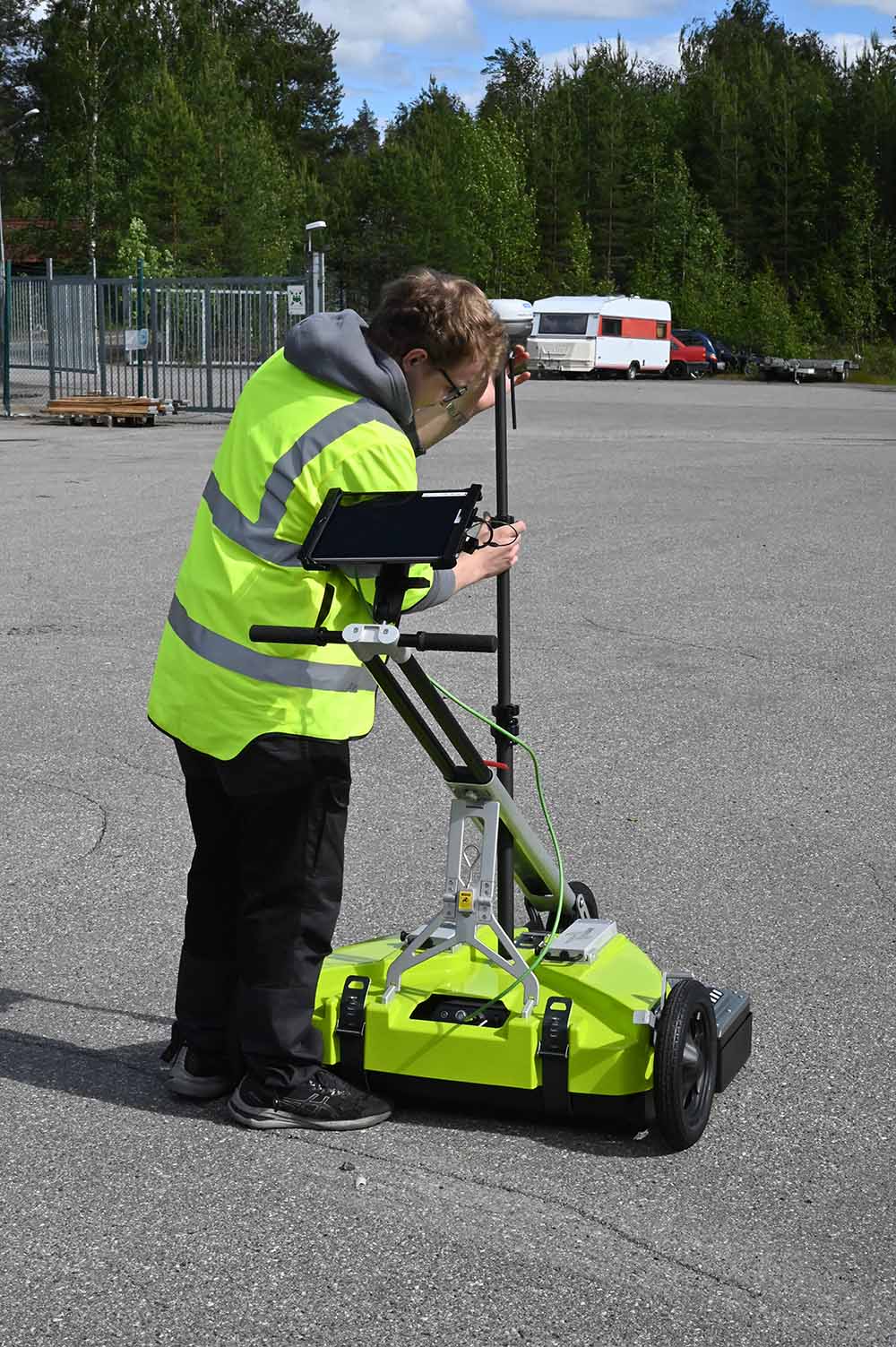
Quick and intuitive setup gets you surveying in minutes.
Minimal steps.
Maximum efficiency.
One person
Efficient Field Operation
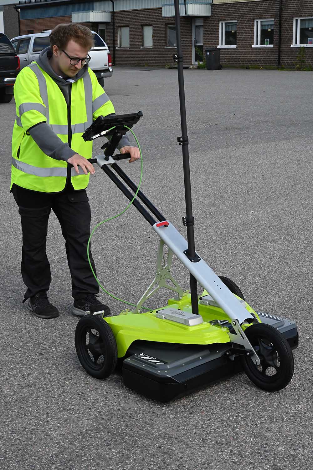
Capture 3D data with 8-channel architecture.
Cover more ground with greater confidence.
3D Data
Reliable 3D Results
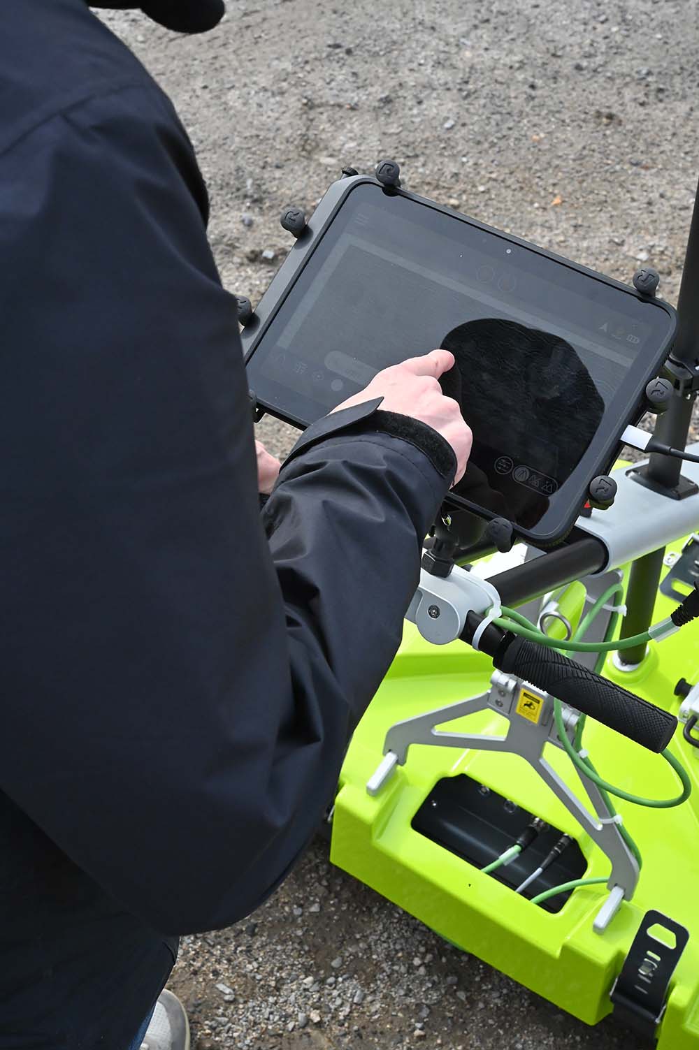
Powerful software and rich 3D visualization make it easier to understand the subsurface and make reliable decisions.
Clear insights
ViewPoint 2
The complete GPR workflow, directly in the field.
ViewPoint 2 App
ViewPoint 2 is the new generation of ImpulseRadar data acquisition software, designed to make the field experience more intuitive from the moment you start.
From survey setup and data acquisition to in-field visualization, ViewPoint 2 brings the essential workflow together in one clear, tablet-driven interface – helping you stay focused on the survey rather than the software.
Condor – Turn data into insights
From field data to actionable results
PinPointR 3D works seamlessly with ImpulseRadar’s software ecosystem – from intuitive data acquisition in ViewPoint 2 to advanced processing, visualization, and interpretation in Condor software.
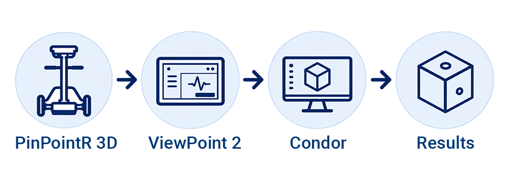
Process, visualize, and interpret your PinPointR 3D datasets in Condor. Powerful processing and visualization tools help transform collected data into clear subsurface insights for confident interpretation and delivery.
Ready to bring professional 3D into your workflow?
See how PinPointR 3D can work for your team
Antenna
Technology
ImpulseRadar real-time sampling
Antenna type
PinPointR 3D
Centre frequency
450 MHz
Signal to noise ratio (SNR)
>100 dB
Significant/useful number of bits
>16 bit
Scans/second
>800
Survey speed
>130 km/h @ 5 cm point interval
Data acquisition rate
160 MHz
Time window
166 ns (8-channels)
Bandwidth
>120% (fractional, -10 dB)
Acquisition mode
Wheel, time or manual
Positioning
Wheel encoder, external GPS and Total-station
GPS support
Integrated support for GPS (int./ext.), NMEA 0183 protocol
Data time-tagging
To 1ms of GPS-time
Power supply
2 V Li-Ion rechargeable battery, or ext. 12 V DC source
Power consumption
3,2 Ah
Operating time
5,4 hours (8-channel with 2x 8,7 Ah battery) Hot-swappable
Dimensions
880 x 600 x 190 mm (Antenna only)
Weight
13.2 kg (Antenna only)
Operating temperature
-20° to +50°C
Environmental
IP65
Regulatory certification
FCC, IC and CE
Cart
Dimensions (folded for transport)
990 x 870 x 370 mm
Dimensions (when in use)
990 x 870 x 1050 mm (Raised handlebar)
Weight
12.2 kg
User Interface
Display
720 x 1280 pixel or better
Operating system
Android™ (>ver. 10) or later
Processor
Intel Atom x5-Z8550, Quad-core 2.3 GHz Krait 400 or better
Memory
2.7 GB SDRAM or better
Software
ViewPoint 2.0 / Condor
Product information